
 Famartin, Wikimedia Commons, CC BY-SA 4.0
Long before Beat Generation novelist Jack Kerouac immortalized the road trip or Americans got their kicks on Route 66, cross-country drivers had to navigate a confusing network of colloquially named thoroughfares to reach their destinations.
Like pioneers of yore, motorists in the early 1910s could follow the National Old Trails Road—a transcontinental route between Baltimore, Maryland, and Los Angeles, California, stitched together from existing roads and historic wagon-train paths such as the Santa Fe Trail—or the Lincoln Highway, which connected New York City and San Francisco. As cars proliferated, so did demand for better roads. Countless automobile clubs, auto trail associations, local civic boosters, and business owners began marking highways, often with signs painted on utility poles, planks, barns, and rocks.
Cross-Country Motorists on the National Old Trails Road in the 1910s (Photos courtesy of FHWA)
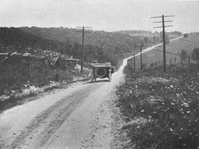
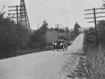
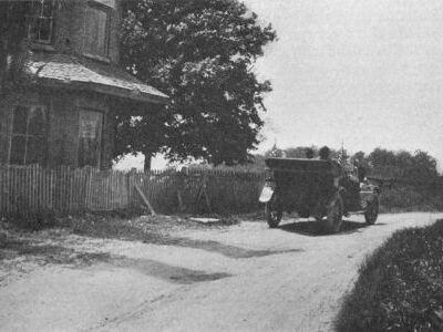
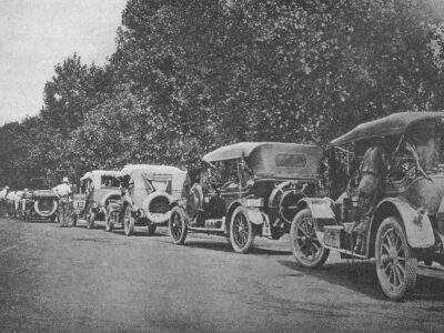
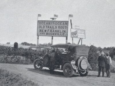
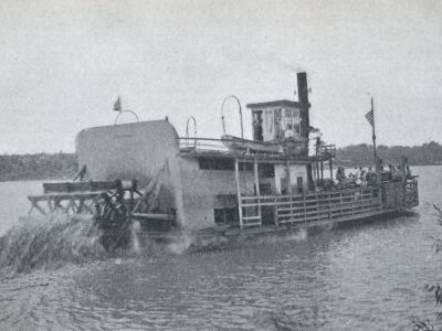
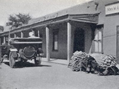
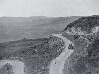
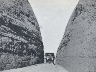
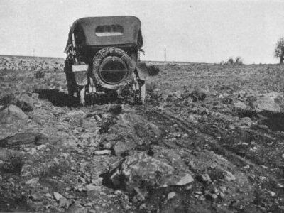
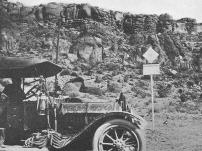
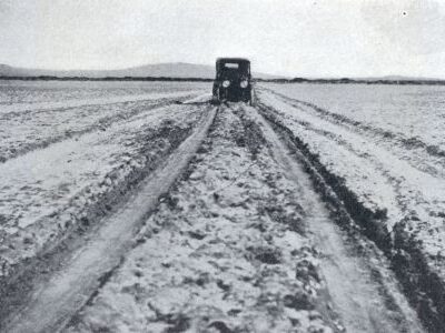
By the mid-1920s, these groups had helped to create, map, and promote hundreds of national auto trails. Some had evocative monikers. Travelers could thread their way from Illinois to Louisiana on the Bee Line Highway or Magnolia Route, for instance, or take the Lone Star Trail from St. Augustine, Florida, through Texas, to Los Angeles.
Names and signage revealed nothing about the quality of the roads, however. Nor did drivers have an easy time negotiating the often overlapping maze of marked highways—a challenge that only grew as cars surged in popularity.
Call for Order
 Courtesy of the Wisconsin Historical Society
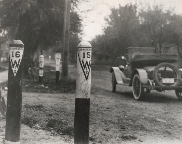
Wisconsin was the first state to address this crisis by numbering its roads in 1917. In 1925, spurred by a recommendation from AASHTO’s predecessor, the American Association of State Highway Officials (AASHO), Congress formed a Joint Board on Interstate Highways to hash out a nationwide solution. On November 11 of the following year, AASHO adopted the U.S. Numbered Highway System.
 Courtesy of FHWA
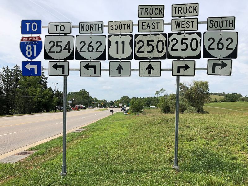
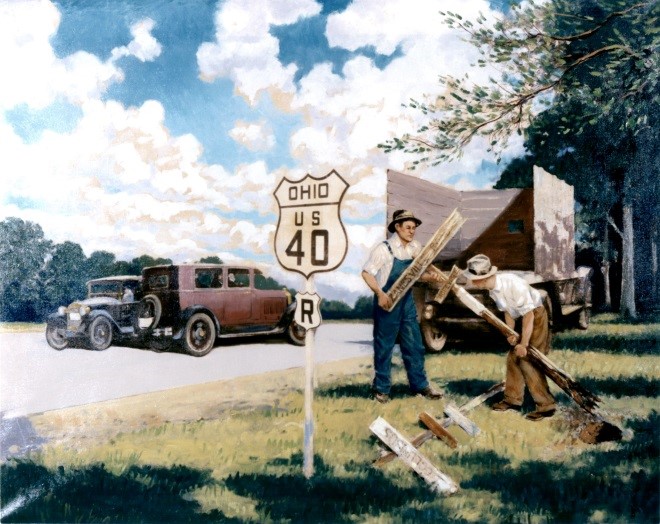
Today, roads bearing the distinctive shield of the U.S. Numbered Highway System—with odd-numbered routes generally running north to south and even-numbered routes stretching east to west—span nearly 180,000 miles. That numbering system is still administered by AASHTO in cooperation with state and local departments of transportation.
Interstates Come of Age
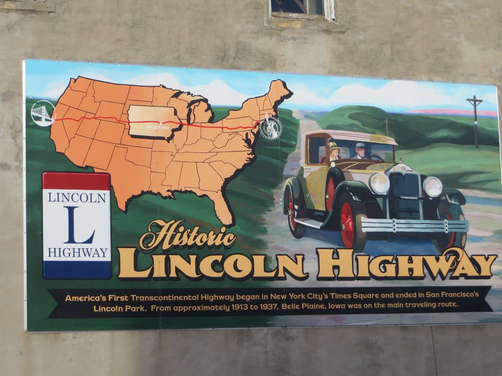
Beyond giving rise to the numbered highway system, historic auto trails also laid the foundation for the Interstate Highway System that launched in June 1956 with passage of the Federal-Aid Highway Act. I-90 and I-94, for example, closely parallel the old Yellowstone Trail—the first transcontinental route through the country’s northern tier. The popular motorway stretched from Plymouth Rock in Massachusetts to Puget Sound in Washington and contained a dedicated spur to Yellowstone National Park. Parts of I-95 overlap the old Dixie Highway leading into South Florida from Michigan, while I-80 aligns with much of the Lincoln Highway.
 David Wilson, Flickr, CC BY 2.0
Ironically, the inspiration for a federal roadway network—a key economic development initiative of the Dwight D. Eisenhower administration—traces in part to the President’s experience with rutted, muddy roads as a young soldier. In 1919, he participated in the U.S. Army’s first transcontinental convoy, an often-grueling, 62-day journey along the Lincoln Highway undertaken to showcase the utility of motor vehicles and build public support for investing in better roads.
Today, the romance of road travel continues to beckon millions of motorists onto the nation’s historic highways each year. Thanks to the Interstate Highway System, their journeys to the Grand Canyon or grandma’s house—summer travelers logged 866 billion miles on U.S. highways in 2024—may be smoother and faster than automobile enthusiasts endured a century ago. But the scenery is no less spectacular. Sweeping vistas, kitschy roadside attractions, and other relics of America’s golden age of road trips still draw millions of travelers—many of them international tourists—to Route 66 each year.
 Brent Moore, Flickr, CC BY-NC 2.0
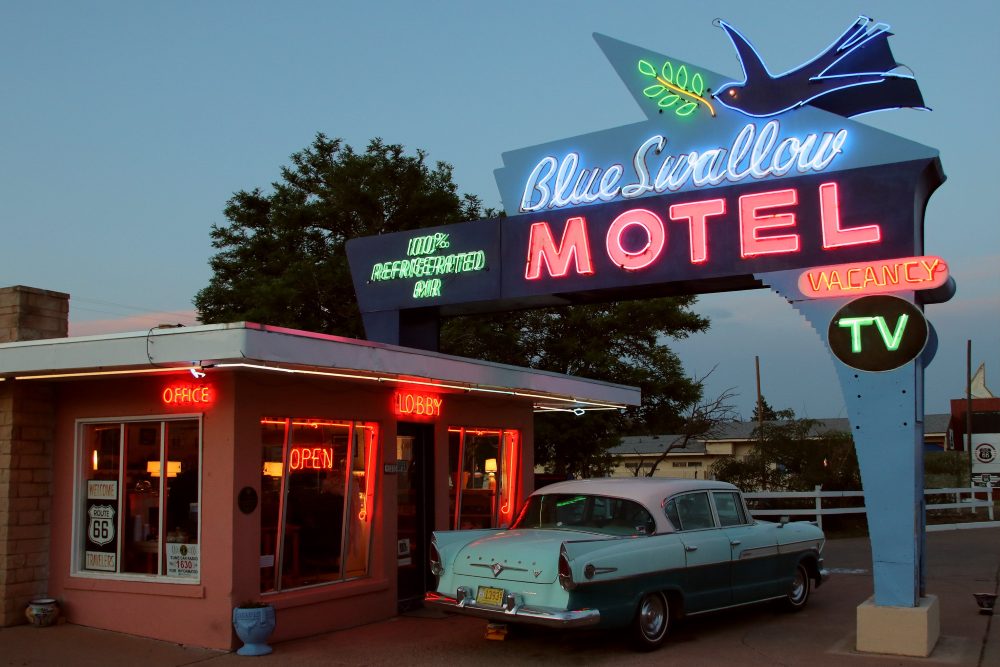
Bypassed by Interstates, the highway that carried Dust Bowl migrants from Midwest farms to California during the Great Depression was decommissioned in 1985. But most of the historic route remains drivable, its retro diners and neon signs offering a nostalgic glimpse of past travel adventures while helping to ensure that the Mother Road, as novelist John Steinbeck dubbed it, will remain among the nation’s most iconic and enduring highways for the next 100 years.